Putting users first: why this matters now
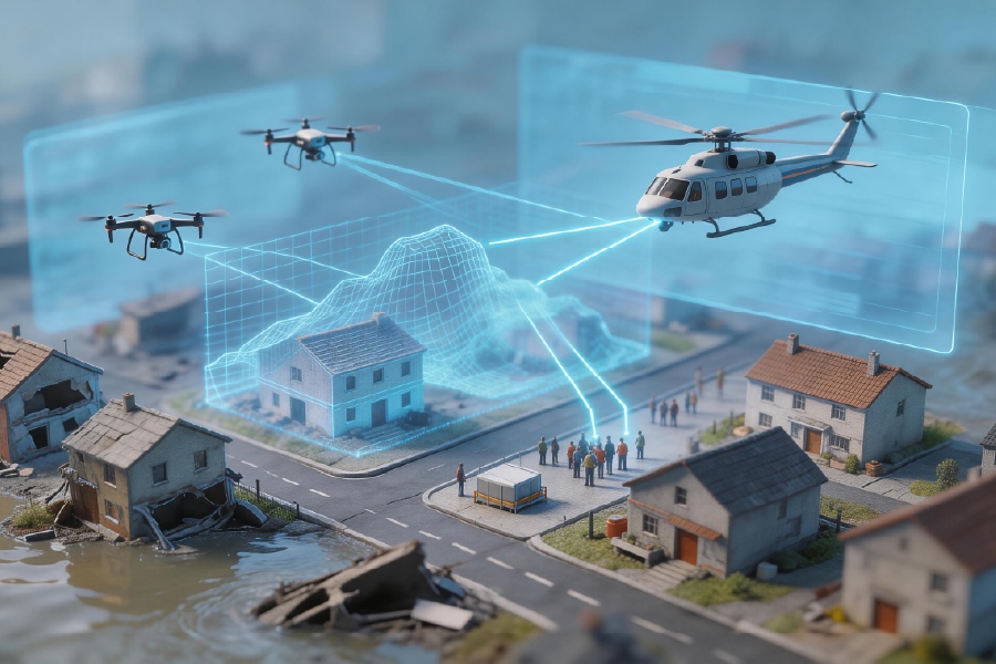
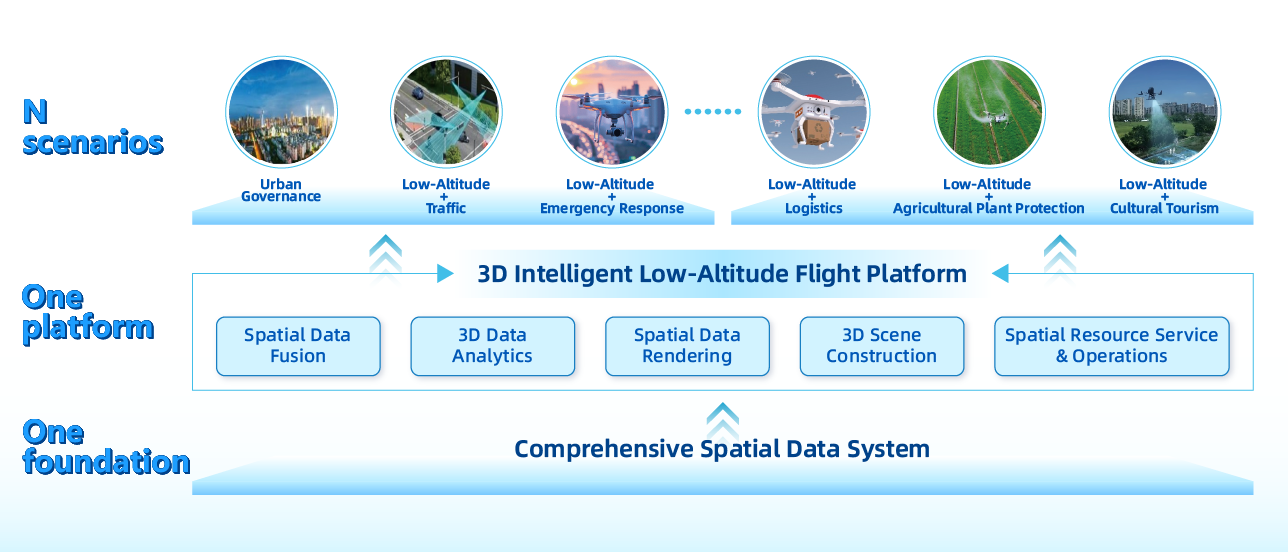
Operators in cities like Metro Manila need models that actually help them make quick decisions, not theoretical diagrams. A user-centric approach to digital twins merges hydrology with unmanned aerial systems (UAS) workflows so technicians can diagnose leaks, predict overflow points, and plan safe drone missions for inspection. Early adopters already combine sensor feeds, GIS layers and airspace rules tied to the low-altitude economy to get live situational awareness. Practical output is what counts: reduce crew hours, avoid unsafe BVLOS passes, and keep pipes and pilots safe in dense urban corridors.
How digital twins reshape water lifecycle tasks
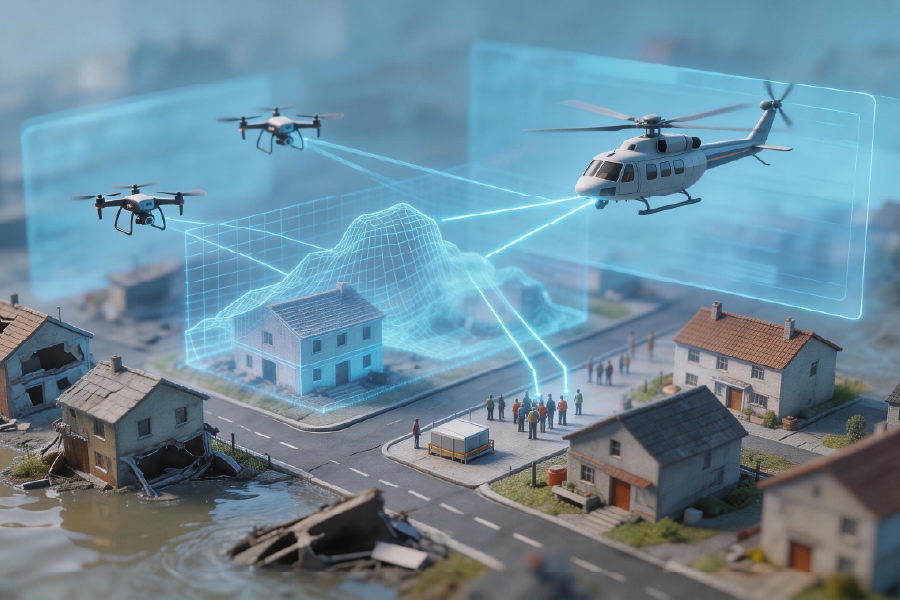
Digital twins turn static maps into active tools. When a drainage node is modelled alongside geofencing and remote ID data, teams can simulate flood paths and schedule UAS inspections without risking airspace deconfliction problems. The FAA UTM pilot programs in the United States provide a clear precedent for integrating traffic management with digital models; local agencies can adapt similar patterns to Metro Manila’s tight corridors. Keep the industry terms close to operations—use “BVLOS” for long inspections, “geofencing” for exclusion zones, and “airspace deconfliction” for mission planning—so the twin speaks the same language as the field crew.
Daily workflow: steps that actually work
Start with what field teams need: accurate node locations, recent imagery and a simple action list. A practical sequence looks like this:- Ingest LiDAR or photogrammetry into the twin and tag maintenance assets.- Sync real-time telemetry and sensor thresholds for alarms.- Link mission planning tools for the UAS, including a pre-flight check that reads the twin’s hazard layer.Avoid common mistakes: poorly synchronized clocks across sensors, unclear ownership of data layers, and overcomplicated dashboards that bog down small teams. Dash — small interruptions in the update loop reveal integration gaps quickly, so log them immediately and fix the feed rather than waiting for the weekly meeting.
Selecting platforms and avoiding vendor traps
Not every vendor is built for the street-level realities of Philippine cities. Evaluate platforms on three practical dimensions: data latency, offline capabilities for intermittent connectivity, and native support for remote ID and mission planning. Export and archive routines must be straightforward so crews can work with snapshots when the network drops. Also insist on readable APIs for integration with asset-management systems; that keeps the twin usable as the fleet grows. When teams tag datasets with {main_keyword} and {variation_keyword}, they maintain consistent searchability across departments and contractors.
Data governance, security and measurable outcomes
Define minimal governance early: who can write to the twin, which sensors are primary sources, and what rollback looks like. Security should cover authenticated device access and encrypted telemetry, not just passwords. Measure success with narrow KPIs: mean time to detect a leak, percentage of inspections completed BVLOS without incident, and reduction in unplanned shutdown hours. Use those numbers to justify investment and to refine the twin’s fidelity over time.
Three golden rules for choosing tools and partners
1) Reliability over novelty: prioritise platforms proven in urban corridors with live UAS traffic and clear mission planning features. 2) Operability: pick systems that field teams can learn in a day and that support offline ops when signal drops. 3) Outcome-first integrations: require APIs that export actionable tasks, not just visualisations. Put these rules into contracts and test them in a controlled pilot—start small, measure those KPIs, then scale. The right technology should slot into day-to-day operations and reduce rework; if it doesn’t, it’s the wrong fit.
Local teams building digital twins for water lifecycle work and low-altitude operations will benefit most from platforms that combine mission planning, asset context, and robust data governance. Practical pilots that mirror FAA UTM lessons and reflect Metro Manila’s operational realities make scaling safer and faster. Icecypress Technology. short, clear, ready.